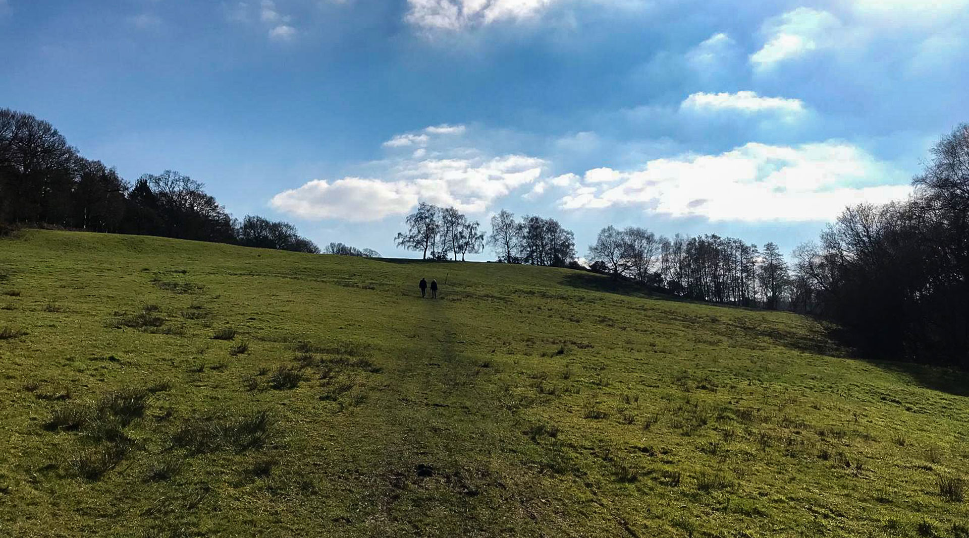
13km Handcross Walk

This Handcross walk is mostly on solid ground meaning it’s a nice easy walk that isn’t going to end with you being caked in mud! It starts where I live, in the small village of Handcross where you can park up, pretty much anywhere, for free. Our walking route was about 13km which takes you around the fields, farms, and woodlands that we are lucky enough to have on our doorstep. If 13km is too much, or too little, this route can be easily adapted to suit anyone and everyone!
I hope you enjoy it, please let me know how you get on the comments below!
If you live near Handcross check out more walks near Handcross Sussex.

Distance
13km

Duration
2 -3 hours

Difficulty
- 1
- 2

Elevation
-67 m
If you are starting this walking route on Windmill Platt as we did, there is parking on this street, then head left onto the high street towards the roundabout. At the roundabout turn left and head down the road towards the A23 for approximately 1.3km.
Keep walking alongside the A23 until you reach a bridge to take you over to the other side. Once you’ve crossed the bridge turn right and head towards Pease Pottage.
At the roundabout in Pease Pottage turn left and follow the round for about 700 meters. On your left will be a road called Grouse Road, turn down here and carry on straight for approximately 1.5km. This is such a beautiful road, with views on either side so don’t rush and enjoy it!
Take the little public footpath on your left (opposite Blackhouse Road) and carry on through the woods. At the end, you’ll reach a gate that will lead you up through a field and towards a dairy farm, keep going until you have walked through the farm.
Once past the farm, you’ll immediately see a fork in the road, take the left fork and keep following the path around to the right.
This will take you through a few more fields and back onto a more concrete path.
Once you reach Carters Lodge Lane turn left and keep to the road. There will be a lovely pond on your left and the path will take you past a stunning pine tree forest.
At the end of the lane there is the main road, Handcross Road B2110, turn left onto the road and walk along the side for approximately 370 meters. This can be a pretty busy road so be careful and mindful of the traffic.
If you don’t mind walking along the side of the main road you are able to keep following the road and it will take you straight back onto Handcross high street.
Alternatively, you can follow a public footpath that is signposted on the right-hand side of the road to take a more scenic route back as we did.
Follow the public footpath down through the field and cross over the style at the bottom.
Keep to the path as it takes you through the fields and towards Coos Lane.
Turn left onto Coos Lane and carry on until you reach the B2110 again to take your right back into Handcross.
If you enjoyed this Handcross Walk please give the walk a rating and let me know how you got on the comments!
Check out more walks near Hancross Sussex and share with friends and family!
